
SPECIFICATIONS FOR GLOBE VIEWS 8 styles of Globe Views 144 images for each style (1152 total) Globe Views - 16 longitudinal positions in 22.5°; 9 latitudes 90°N to 90°S in 22.5° increments Each image is 1920 X 1920 pixels, 10.6 MB, 72 DPI Resolution is approximately 5,000 meters per pixel
| Globe views are available in four styles, against black or white backgrounds. These 3D views were generated using the Satellite Imagemap, a global natural-colour image of the Earth's entire land surface based on Earth observation satellite imagery. |
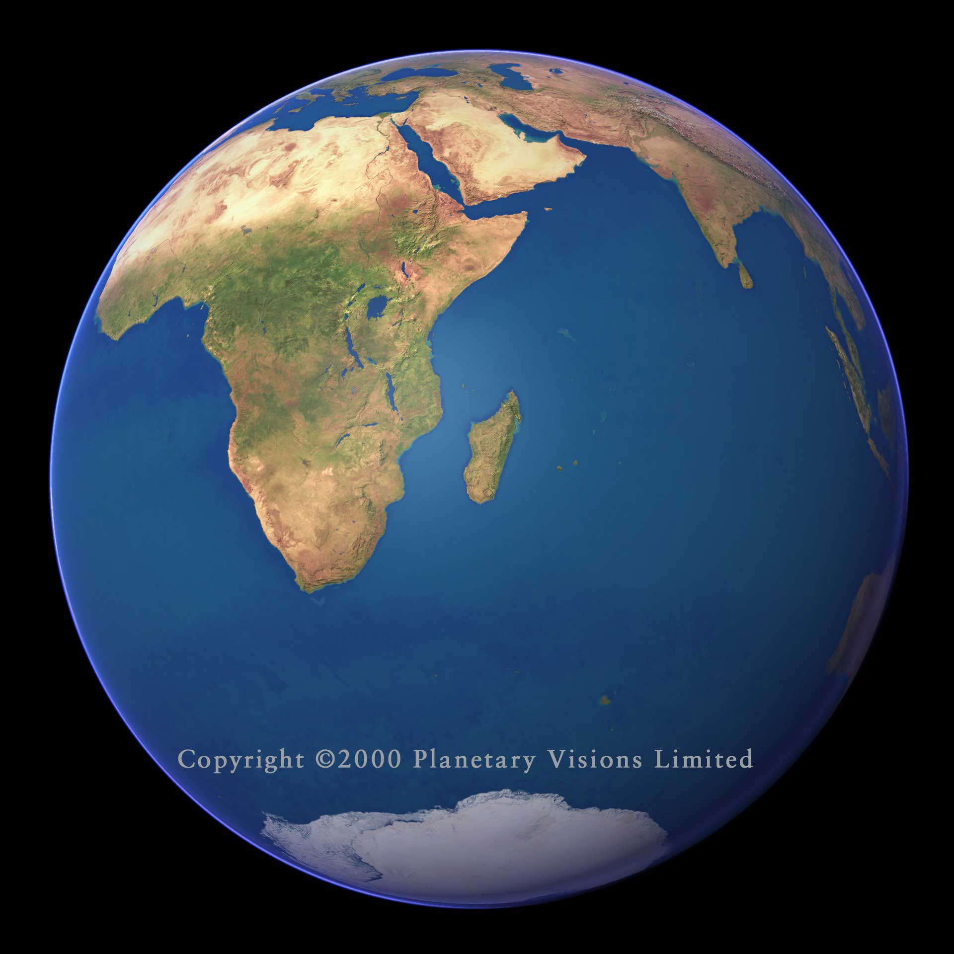
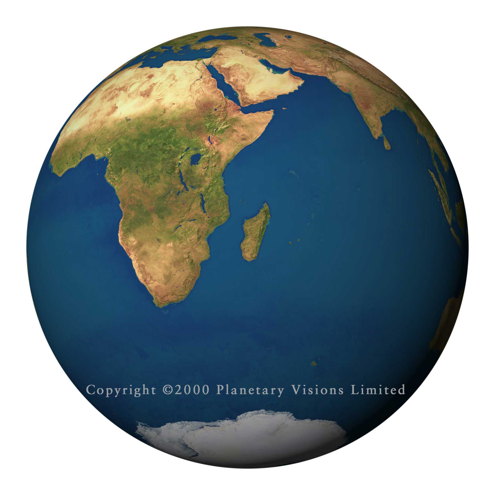
| CLOUD FREE The Earth as it would appear from space if there were no clouds. Click either image below to view full size. | |
 |
 |
| Click here to see all 144 view options. | Click here to see all 144 view options. |
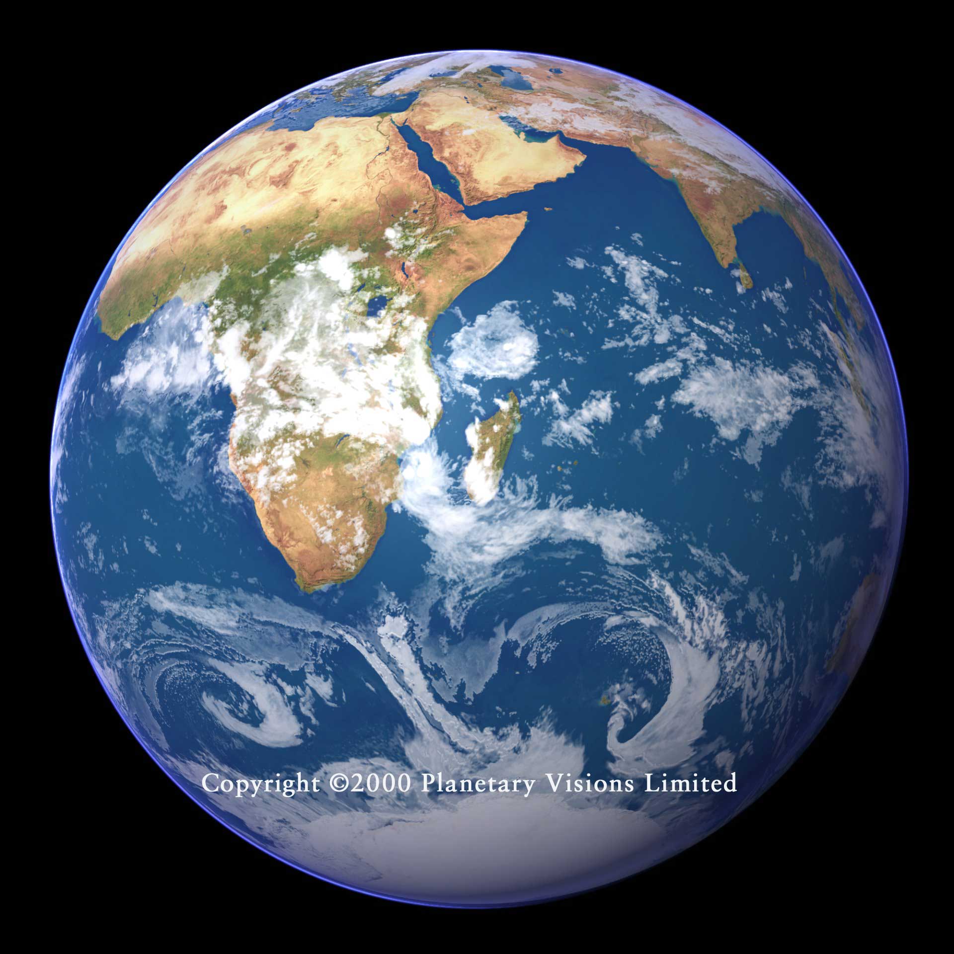
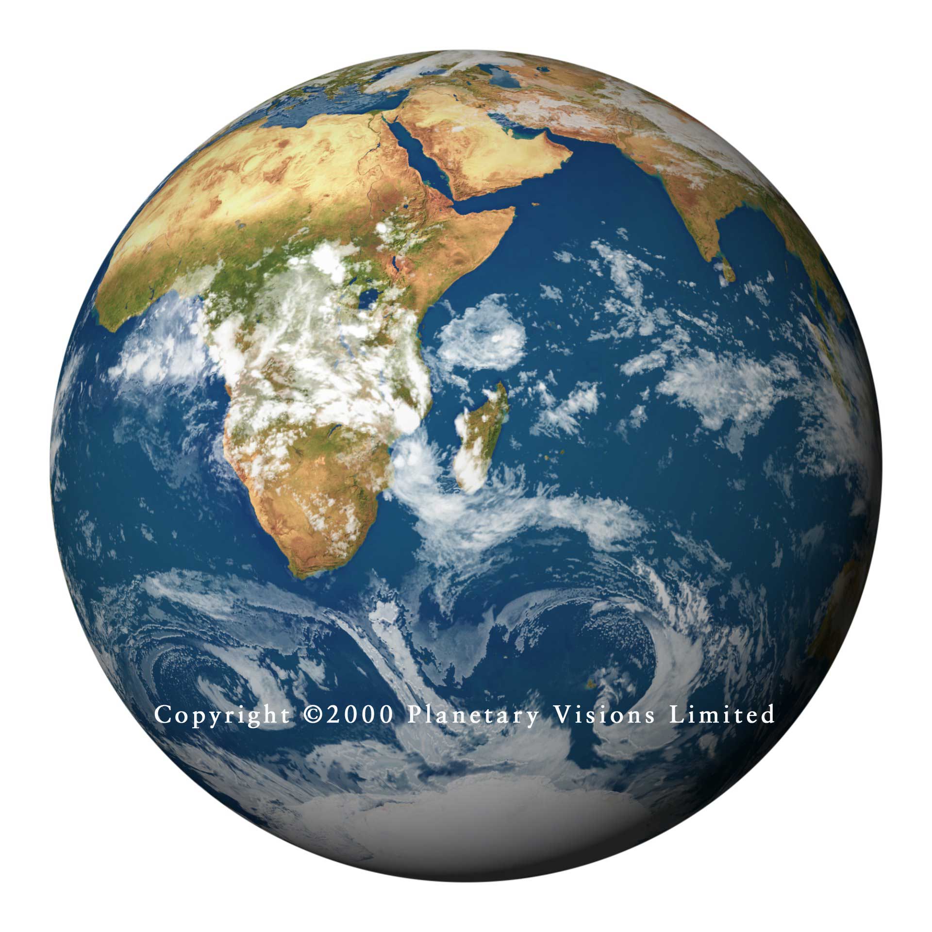
| CLOUDY The Earth in its natural, cloudy, state. Cloud cover is derived from NOAA weather satellite images. Click either image below to view full size. | |
 |
 |
| Click here to see all 144 view options. | Click here to see all 144 view options. |
| OCEAN DEPTH A natural land suface combined with a colour-coded ocean depth map. Click either image above to view full size. | |
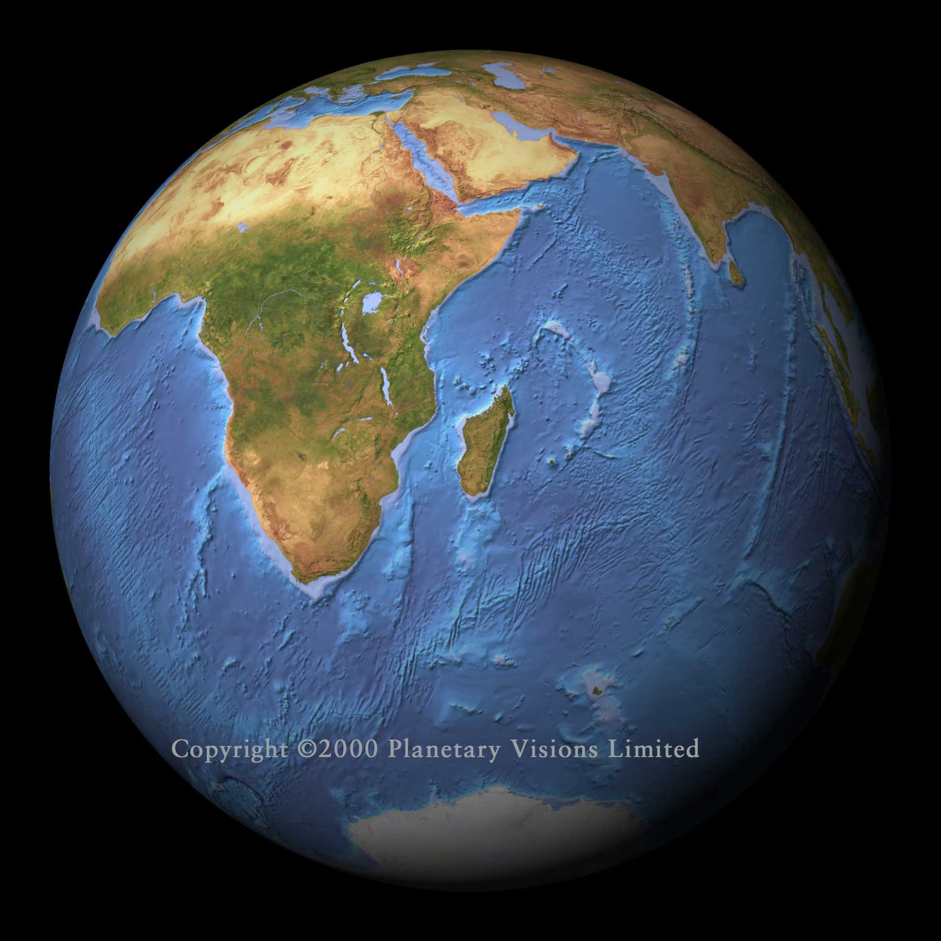 |
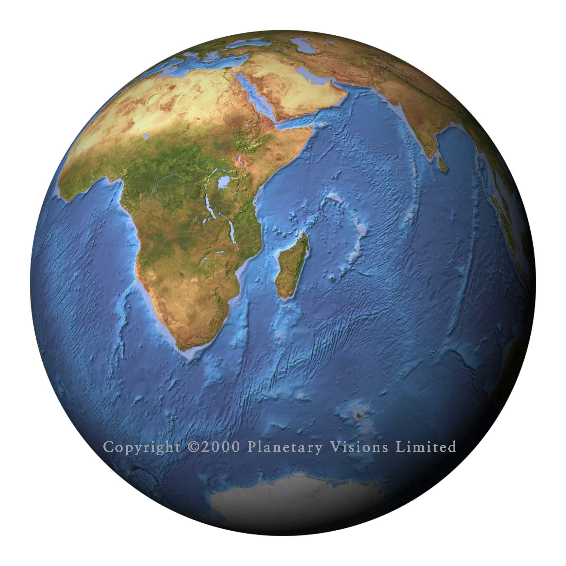 |
| Click here to see all 144 view options. | Click here to see all 144 view options. |
| NIGHT-TIME* The Earth at night without clouds, based on images from the US Air Force DMSP weather satellite. Click either image above to view full size. | |
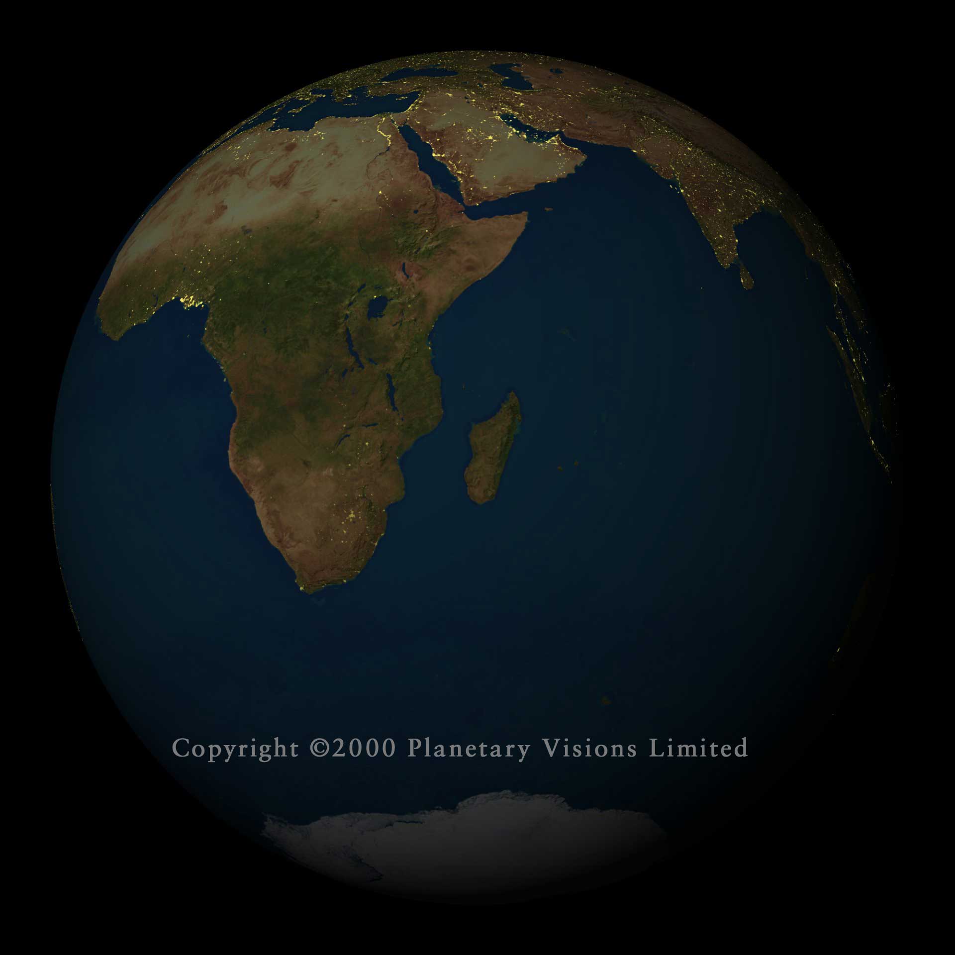 |
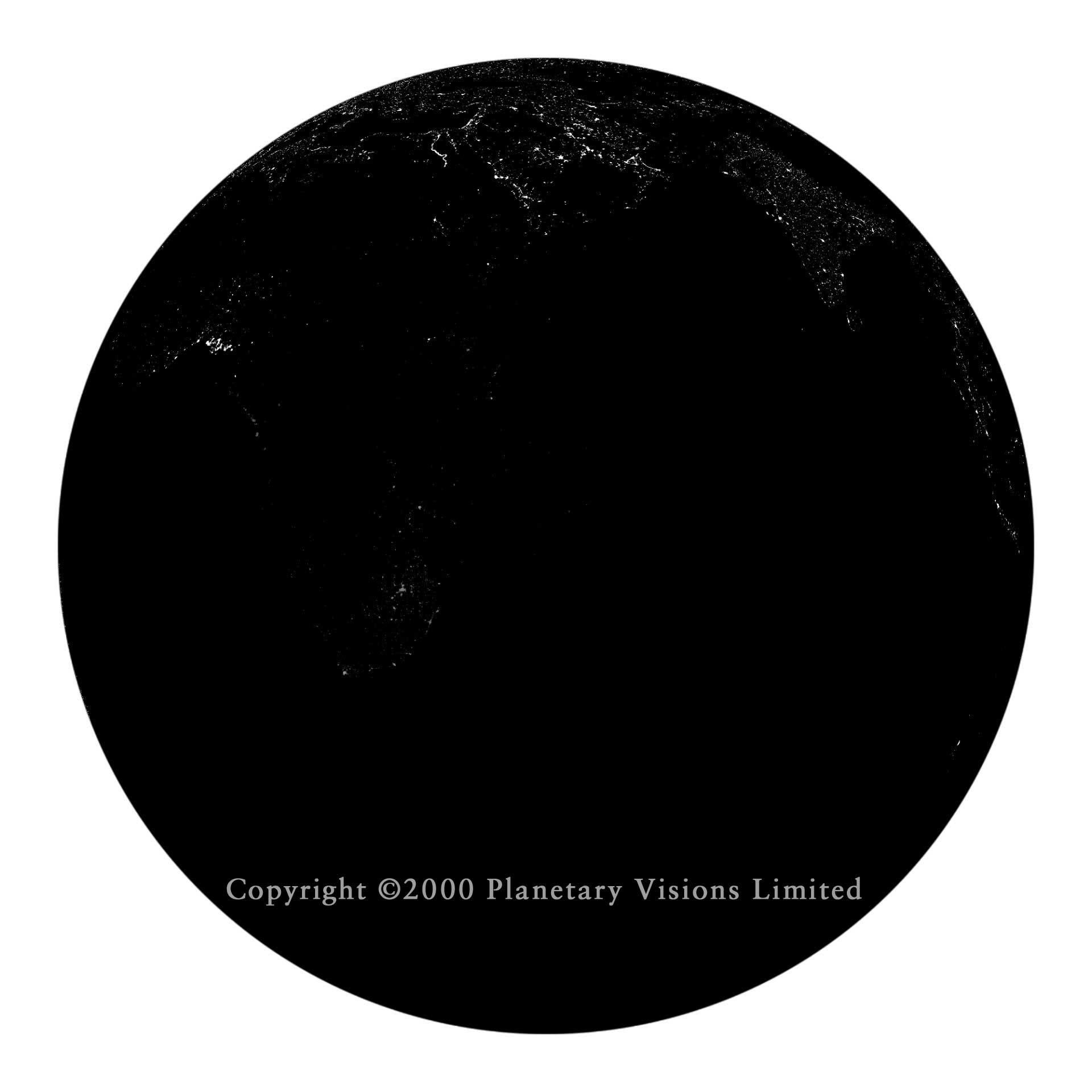 |
| Click here to see all 144 view options. | Click here to see all 144 view options. |
| *The night-time images with the white background are greyscale images which may be used as masks in an image processing package to combine the night-time lights with any of the other globes. |
Copyright ©2014 See Terms and Conditions of Use